

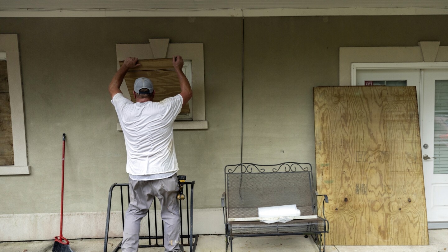
Hurricane Idalia strengthened to a dangerous Category 4 storm Wednesday morning as it steamed toward Florida’s Big Bend region and threatened to unleash life-threatening storm surges and rainfall.
Florida residents living in vulnerable coastal areas were ordered to pack up and leave as Hurricane Idalia gained strength in the warm waters of the Gulf of Mexico, and authorities warned of a “catastrophic storm surge and destructive winds” when the storm moves ashore later Wednesday morning.
Idalia was projected to come ashore as a Category 4 storm with sustained winds of at least 130 mph (209 kph) in the lightly populated Big Bend region, where the Florida Panhandle curves into the peninsula. The result could be a big blow to a state still dealing with lingering damage from last year’s Hurricane Ian. It had grown into a Category 2 system on Tuesday afternoon and became a Category 3 just hours earlier Wednesday.
It did weaken to Category 3 before it made landfall
It never hit a 4. Wasn’t really predicted to either by any of the models. It was moving too fast to really intensify. The NhC did take a bit of a different tact and so did a lot of the TV forecasters and for those of us that tend to monitor the data on places like tropical tidbits and from NWS it seemed like a juxtaposition. It had a lot of folks in a bit of a panic over n my area.
Here’s intensity tracking and modeling from 00z to 06z to 12z today. The 0 point is actual intensity and those are usually bumped up just a bit from recon sounding data. And that tracked as well they tend to err on the side of higher values over median or mean
Here’s 18z yesterday.