
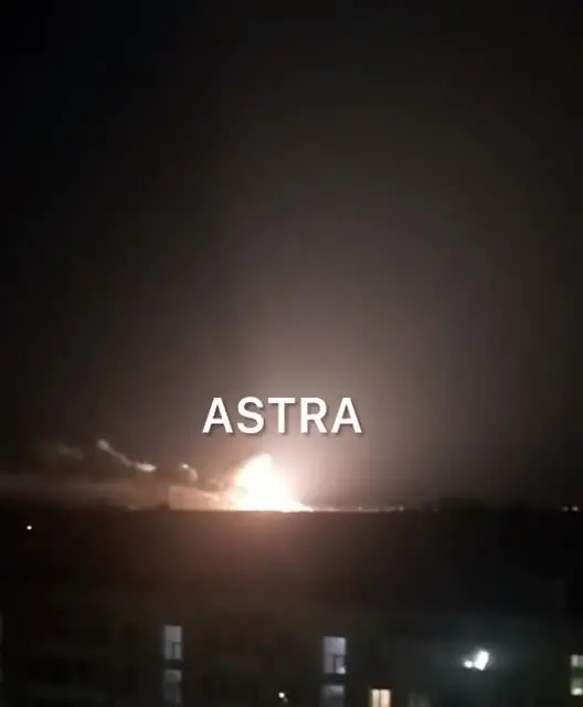
More footage from Dzhankoy, where, after the explosions, the military airfield was burning

https://t.me/Crimeanwind/57778
The Crimean Wind monitoring group transferred the points of fires at the Dzhankoy airfield to a Google map
It is worth noting that the satellite often shows not the sites of explosions, but secondary fires from the scattering of burning debris .
It is also worth considering the inaccuracy of satellite determination of the coordinates of fires - up to several tens of meters.
You must log in or register to comment.
Damn, that is a big cook off!
I know it’s bad for the environment but damn it’s good to see russian stuff burning.