
Mind you, identifying leaks isn’t enough; it takes actively fixing them and decommissioning the infrastructure which resulted in methane release in the first place.
Mind you, identifying leaks isn’t enough; it takes actively fixing them and decommissioning the infrastructure which resulted in methane release in the first place.
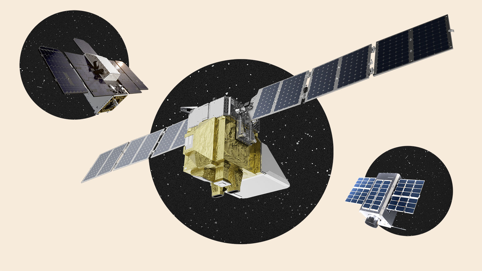
Unfortunately these satellites don’t have a high-enough resolution for oil and gas source attribution in most cases. They’re great for CAFOs and landfills, though.
My understanding is that the plan is to use a mix of high-frequency-low-resolution imaging with less-frequent-higher-resolution images to pinpoint specific leak sources.